
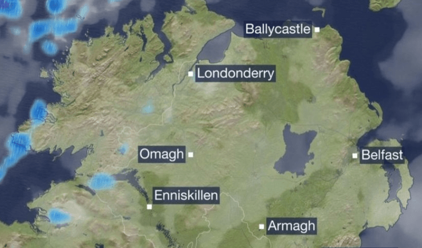
Northern Ireland weather forecast and local updates |
Find out about northern ireland weather and the northern ireland rain outlook |
 |
Northern Ireland is set to experience a mix of weather conditions this week, with temperatures hovering around seasonal averages and varying chances of precipitation.
Today, Monday, March 2, 2026, residents can expect a blend of clouds and sunshine. The day will start off dry and bright, but as the morning progresses, cloud cover will increase, especially in western and northwestern areas. Scattered showers are anticipated, some of which may be heavy and accompanied by hail. These showers will gradually move eastward throughout the afternoon and evening, becoming more isolated later on. Temperatures are expected to reach highs between 8°C and 11°C, with south to southwest winds increasing to moderate or fresh levels during the morning. Coastal regions in the west and north may experience stronger winds, which will veer northwesterly and gradually ease later in the day, remaining fresh along the north coast.
Tonight, any lingering isolated showers will dissipate early, leading to a predominantly dry and clear night. Temperatures will drop to lows between -2°C and +2°C. With light and variable winds, frost and ice are likely to form, and there is a possibility of mist patches developing.
Looking ahead to tomorrow, Tuesday, March 3, 2026, the forecast indicates a dry and mostly sunny day. Some southern areas may experience increased cloudiness later in the day. After a cold and frosty start, afternoon temperatures are expected to rise to between 9°C and 12°C, accompanied by light to moderate variable breezes, mainly from the east or southeast.
The national outlook for the remainder of the week suggests that while there will be some showers or rain, particularly on Thursday due to an incoming weather front, high pressure will dominate for much of the week. This pattern will result in a significant amount of dry weather overall. Temperatures will be around average to slightly above for early spring, with pleasant spells of sunshine at times. However, frost is expected on some nights.
On Tuesday night, the weather is expected to be dry with mostly clear skies initially, leading to widespread frost. Overnight, low cloud, mist, and fog will develop from the south, possibly bringing light rain or drizzle. Temperatures will range from 0°C to 5°C early in the night, with the highest values along southern and eastern coasts, accompanied by light to moderate southeasterly breezes.
Wednesday will bring some bright or sunny spells, but overall, a good deal of cloud is likely. While much of the day will be dry, there may be patchy drizzle, mist, and fog, mainly in the south and east. A few isolated showers could develop later in other areas. Temperatures are expected to reach highs of 10°C to 14°C, with southerly winds increasing to moderate or fresh levels.
On Wednesday night, the weather will start off mostly dry with a mix of cloud and clear spells, though scattered showers and areas of mist and fog are possible. Overnight, cloud will thicken from the west, bringing rain to most areas. Temperatures will drop to lows of 4°C to 8°C, with moderate, occasionally fresh, southerly winds veering westerly later in the night in western areas.
Thursday is expected to be cloudy in the morning, with outbreaks of rain and drizzle spreading eastward. A clearance to mainly dry and brighter weather will move into western areas by early afternoon, gradually extending eastward through the rest of the day. Temperatures will reach highs of 8°C to 11°C, with moderate, occasionally fresh, winds becoming mostly northwesterly and easing later.
Thursday night will be mainly dry with clear spells, and temperatures will drop to lows between -2°C and +2°C, leading to frost and icy patches.
Friday is expected to be mostly dry with some spells of sunshine, and temperatures will range from 8°C to 12°C.
Looking ahead to the weekend, high pressure is expected to remain the dominant influence on the weather, resulting in a lot of dry conditions overall, with some spells of sunshine. However, some showers or rain are possible later in the weekend.
It's worth noting that a recent split in the polar vortex is expected to impact weather patterns across the Northern Hemisphere in March 2026. This phenomenon could lead to increased chances of cold air intrusions and late-winter snow events in parts of Europe, including Northern Ireland. Residents should stay informed about potential weather changes as the month progresses.
In summary, Northern Ireland's weather for the upcoming week will feature a mix of dry and wet conditions, with temperatures around seasonal norms. Residents should be prepared for variable weather, including the possibility of frost and ice during the nights. |